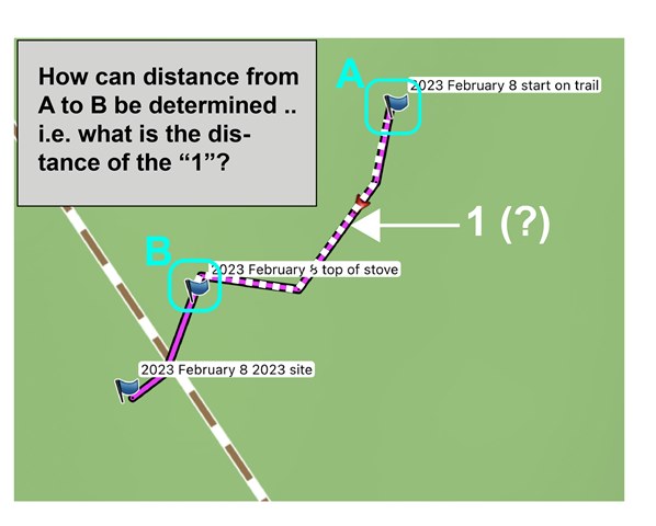
This question was asked 13yrs ago, without a good resolution. Is it possible in Basecamp to determine a precise measurement between waypoints -- not "as the crow flies" but rather the distance following a route / track (see example)? The measurement tool can give a general distance -- but if needing to analyze the distance between multiple waypoints along a route / track with accuracy, this method is both potentially time intensive and not "accurate". Any advice / guidance would be greatly appreciated - thank you for your patience as I am a new Basecamp user, and can't find the answer. I am using a Mac and don't have GIS software.


