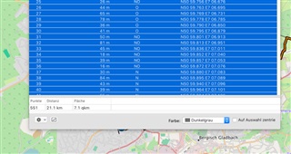
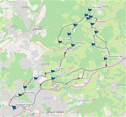
Yesterday I build a simple route with a bunch of waypoints. Basecmp made a track with 551 points out of it. It shows the height details (a bit weired, with multiple ups and downs) and the distance, but not the overall height, so it is a bit difficult to judge how exhausting the track will be. See attached images...any ideas?


