Can't seem to be able to set up a route following off road paths

Former Member
Former Member
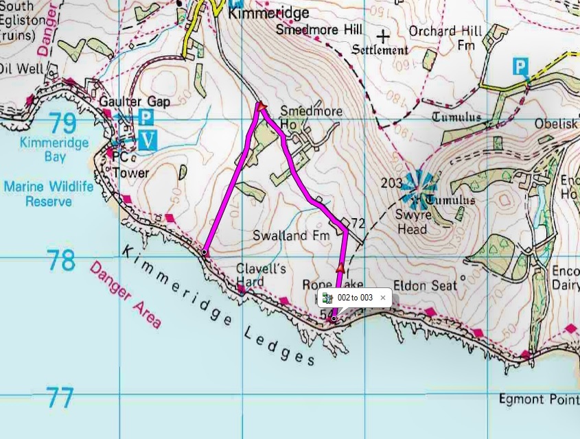
Hello, I apologise if I am repeating a previous question, but I am having problems planning a route in basecamp. The example I have included is trying to setup a route along a coast path, but it auto selects the road and not the coast path. I have the same problem regarding off road bridle and pathways. What am I doing wring please? I have tried the various settings for Walking or hiking etc., but still the road is preferred. I do a lot of coastal walking and so do a lot of other people, so surely the coast paths should be programmed into the system.

Thanks
Adie
ciq.forums.garmin.com/.../1293014.jpg
  • ...so surely the coast paths should be programmed into the system.


    The behavior you are seeing suggests otherwise (assuming you have the proper activity and avoidances).

    What maps?

    It looks like the path you want to use isn't in the routing data in the map.

    That is, it looks like a map problem.
  • It's why I always use direct routing when planning walking routes. You can't rely on any map to auto route along the way you want to go.

    The map you're using looks like the OS 1:50K map. It definitely won't auto route along footpaths etc.
  • The map you're using looks like the OS 1:50K map. It definitely won't auto route along footpaths etc.


    That suggests that that map was created by merging a bitmap map (the visible stuff) with routing data from another map.

    The path shows up in the image but isn't in the routing data.
  • The Garmin OS map comes with an underlying road map for the UK. If you choose a routing profile it uses the data from that map. That's why it won't route along the footpaths in the OS maps.
  • Former Member
    0 Former Member over 7 years ago
    Hello, I have the Discoverer full country bundle, and u I tried direct maps but that did the same, unless I'm missing something. The only way I have worked out to make it work is using the track function. Time consuming. You would think coast paths would be included.
  • Former Member
    0 Former Member over 7 years ago
    You still need to set some via points or waypoints at key points along the path you want to follow then use "direct routing" and BaseCamp will connect the points with straight lines. Those lines will give you the general direction and critical turns but you of course will still follow the path that is visible to you on the ground.
  • Former Member
    0 Former Member over 7 years ago
    It depends on the map, as stated above, but try ATV Activity mode by Shorter Distance if you have a device such as the Garmin 64s. The ATV mode will tie roads and trails together on some maps. (I have a generic OSM map that did route over a ped/bike trail bridge, but forced cars to take the long way around in Basecamp. California, USA) .
  • You would think coast paths would be included.

    Who should have done that work?

    Topo maps were originally drawings. These drawings were converted to bitmaps. This is relatively easy and cheap to do.

    Routing information has to be in a vector format. There's a lot of economic incentive to build this data for roads. It's also relatively easy and cheap to get this data (you just have to drive on the roads).

    It's harder to get this vector data for paths because you have to have people walk on the paths.

    It's a common problem that vector data for paths is incomplete (it's slowly changing but it's still incomplete).

    The map you are using is bitmap data with the road vector data added to it.

    ===================

    Use a different map.

    Some of the paths are in OSM.

    http://www.openstreetmap.org/#map=15/50.6097/-2.1167

    You can get OSM "img" maps that can be used in Basecamp from.

    http://extract.bbbike.org/
    http://garmin.openstreetmap.nl/

    The following appears to have topo-style OSM maps:

    http://garmin.opentopomap.org/

    You can stick the "img" file in a "\Garmin" folder on a USB stick. (You can also get software that emulates a USB stick.)
  • Hello, I have the Discoverer full country bundle, and u I tried direct maps but that did the same, unless I'm missing something. The only way I have worked out to make it work is using the track function. Time consuming. You would think coast paths would be included.


    Without wishing to repeat myself, the OS map isn't routeable, only the underlying normal road map, so paths etc are not included. See dpawlyk's post above for more detail. The best way to create walking routes is with the Direct activity selected in BaseCamp, then you can use the routing tool instead of the track tool.

    Even maps that do allow routing along paths etc won't always have the paths you want to use. In preparing walking routes I generally use a combination of three or four maps to check I have everything correct.