Multiple map layers?

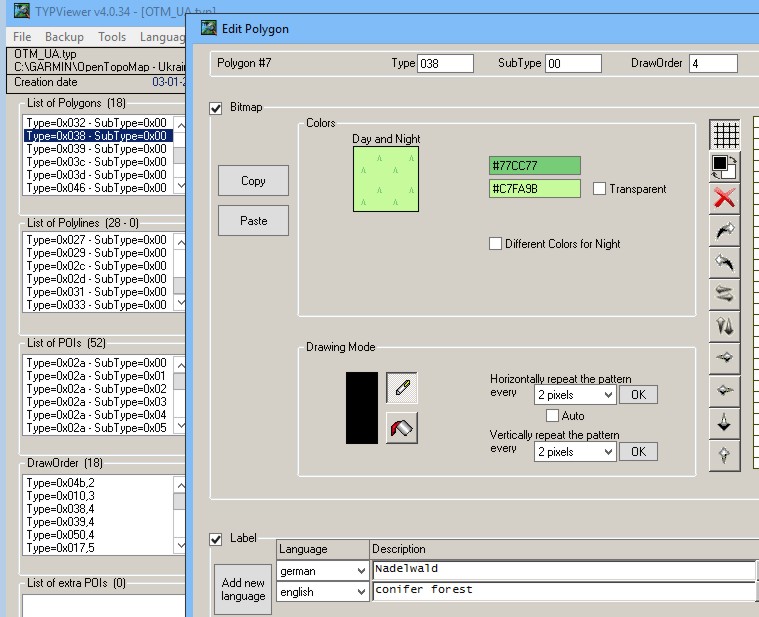
In anticipation of my 5X arriving (fingers crossed), I've been playing around with Garmin BaseCamp to prepare routable topo maps (from OSM-derived sources) for a planned April hike in Patagonian Chile. My question is about elevation data / contour lines.

It seems like many of the handheld Garmin GPS units support loading and layering multiple maps, such that you can have satellite imagery, routable road/trail maps, and a "map" of just elevation contour lines, and then turn each of them on/off independently on the device (depending on what you want to see). This seems pretty ideal: I'd probably just look at the trail most of the time, but it would be nice to have the contour data still available, for example, to show the elevation profile mid-route.

Does anyone know if the 5X will support this feature? Did the Garmin Epix? (Without direct user reports, I'm prepared to assume that the 5X starts with the same map/nav featureset as the Epix watches).

I ask because if the 5X can only work with a single map layer, I'm under the impression that I need to "merge" OSM topo maps with contour files in order to create a single blended map. That seems to require playing around with some open source apps and scripts... or paying the (relatively cheap) openMTBmaps subscription to get it done automatically.

Advice?
  • So, can anyone confirm that the Topoactive maps on the UK 5X don't have contour lines? If this is the case I take it I'd need to buy the Topo version or install an OSM version? Fairly rubbish to spend £630 and not get a decent map for running!


    Uk version has no contour lines and has the same Europe West mapping as other European countries.

    If someone with mapping kung-fu skills knows how to add a layer of OSM based contour lines please share.
  • I have added a contour map downloaded from http://garmin.opentopomap.org/ The zip file for the British Isles contains a contours map which can simply be layered on top of the others.
  • Is that map layer better than the TalkyToaster one?

    Do you install it directly to GRAMIN folder as a gmapsupp.img file?

    Derek.
  • I am using the mapping from here https://openmtbmap.org/ - routable and with contour lines.

    Very happy with the 5x and the osm mapping
  • Here are a couple of screenshots I took today showing the map with contours from http://garmin.opentopomap.org/

    The first was while following a route, the distance to the end seems to show zero because I was actually going the "wrong" way along the course. I wish there was a way to disable this but so far I have not found a way to. The map screen is configured with zero fields, but you always seem to get this when navigating a course.


    The second was taken when not using a course.

  • I also noticed this during a run yesterday... I am disappointed because I would prefer to have the full (small) screen for the map, not for a useless "0" masking part of the info (NB : if on the good way, the field show you distance until end). This info would be an option.
    I agree : this info is always display when yu follow a course envient if you configure map with 0 fields :-( You have really 0 field if you navigate without a course...

    PS : I also downloaded the Garmin OpentTopoMap, I really appreciate to have the contours. But I am disappointed to see that the "green area" (forest) are in yellow in the F5X :-( I assume this is only a parameter in the .img export, becomes on PC, those area are green... Any idea how to change it ??
  • Former Member
    0 Former Member over 8 years ago
    @IACCHOS One should modify the TYP file. Editor of TYP files: https://sites.google.com/site/sherco40/

    OSM_Topo Oryginal:


    OSM_Topo modified for F5X:

  • Former Member
    0 Former Member over 8 years ago
    I also noticed this during a run yesterday... I am disappointed because I would prefer to have the full (small) screen for the map, not for a useless "0" masking part of the info (NB : if on the good way, the field show you distance until end). This info would be an option.
    I agree : this info is always display when yu follow a course envient if you configure map with 0 fields :-( You have really 0 field if you navigate without a course...

    PS : I also downloaded the Garmin OpentTopoMap, I really appreciate to have the contours. But I am disappointed to see that the "green area" (forest) are in yellow in the F5X :-( I assume this is only a parameter in the .img export, becomes on PC, those area are green... Any idea how to change it ??


    I navigated a course and followed it that showed the full map screen without bottom datafield, I think you remove the Map datafield and re-add it on the run activity. My map is turned off in Navigation also to avoid 2 screens. I believe this on on this forum somewhere.
  • I navigated a course and followed it that showed the full map screen without bottom datafield, I think you remove the Map datafield and re-add it on the run activity. My map is turned off in Navigation also to avoid 2 screens. I believe this on on this forum somewhere.
    Dean, it would be great if you could explain exactly how to do this. I have also seen a vague reference to this in another thread but have so far been unable to do it.

    Where do you remove the map datafield before re-adding it to the run activity?

    I have the map datafield added in the run activity, but do not see where else I could remove this other than in a different app such as the navigation app. I'm also not sure what you mean by turning the map off in navigation. I can only add and remove map datafields from apps, and so far have been unable to disable the distance datafield at the bottom even when slecting zero datafields when adding a map.

    If anyone has complete and detailed steps in order to display a map when navigating a course without seeing the distance at the bottom then I am sure a number of people here would be grateful. So far I have failed in my attempts to do this and cannot find another thread with a good description of this either.
  • @IACCHOS One should modify the TYP file. Editor of TYP files: https://sites.google.com/site/sherco40/

    OSM_Topo Oryginal:

    OSM_Topo modified for F5X:


    Thks a lot for this !! Unfortunately, I don't understand : for the GPS (F5X) version downloaded from http://garmin.opentopomap.org, there is only .img file, so no .TYP file ?
    I also try with PC version : the OpenTopoMap.typ is corrupted according to TYP editor :-(

    Could you tell me more ?

    Thks a lot